Last updated on 2024-11-03
The first place I ever got out of my car and set foot on the ground in Harding County smelled of death. Three half-stripped, sharp-toothed carcasses lay in the short grass by the road, near a low pile of brown fur amid the bushes. Whatever got them was meaner than I. Probably not a good omen for hiking alone, armed only with my Swiss Army knife, iPad, and trusty boots, toward those wet, crumbling sandstone cliffs.
But no coyote or puma have found me here yet on the far eastern outcrop of the archipelagian Custer National Forest… or if they have, they don’t like the smell of craisins, and they’ve left me be, to take my pictures.
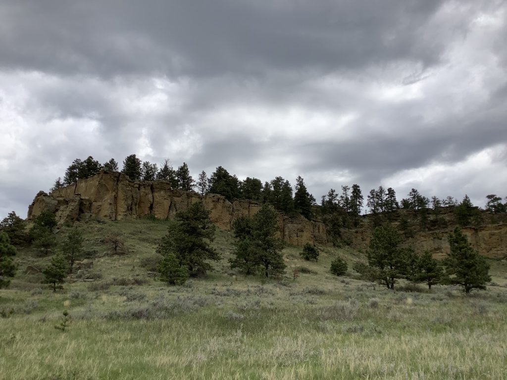
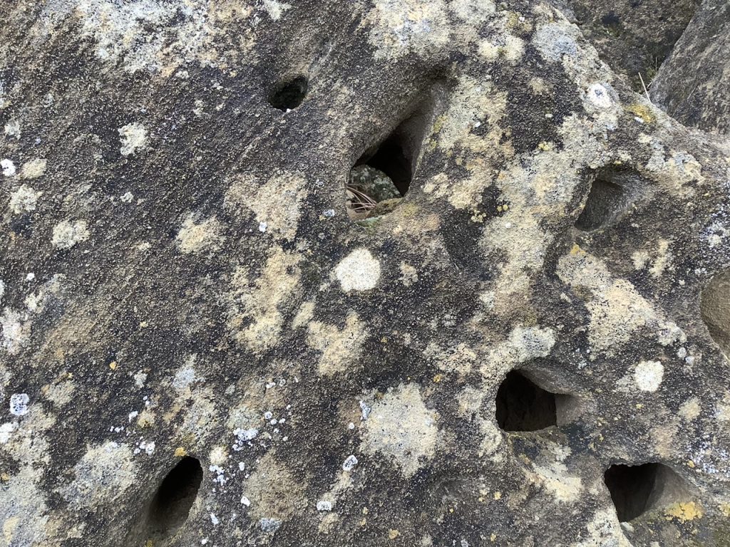
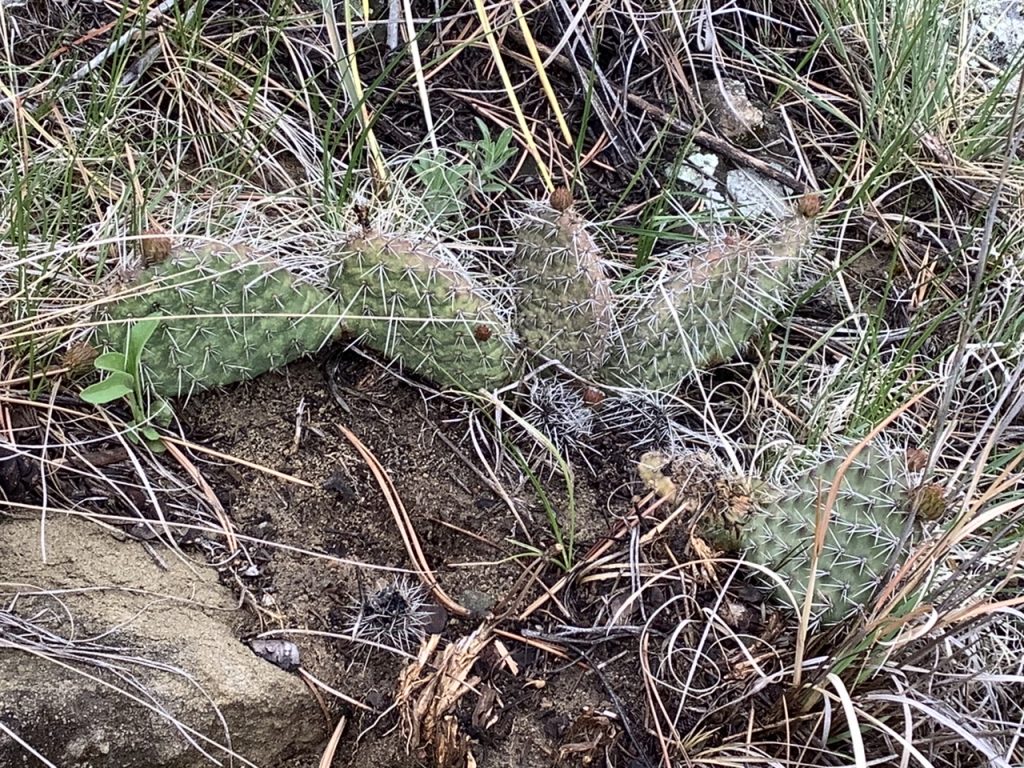
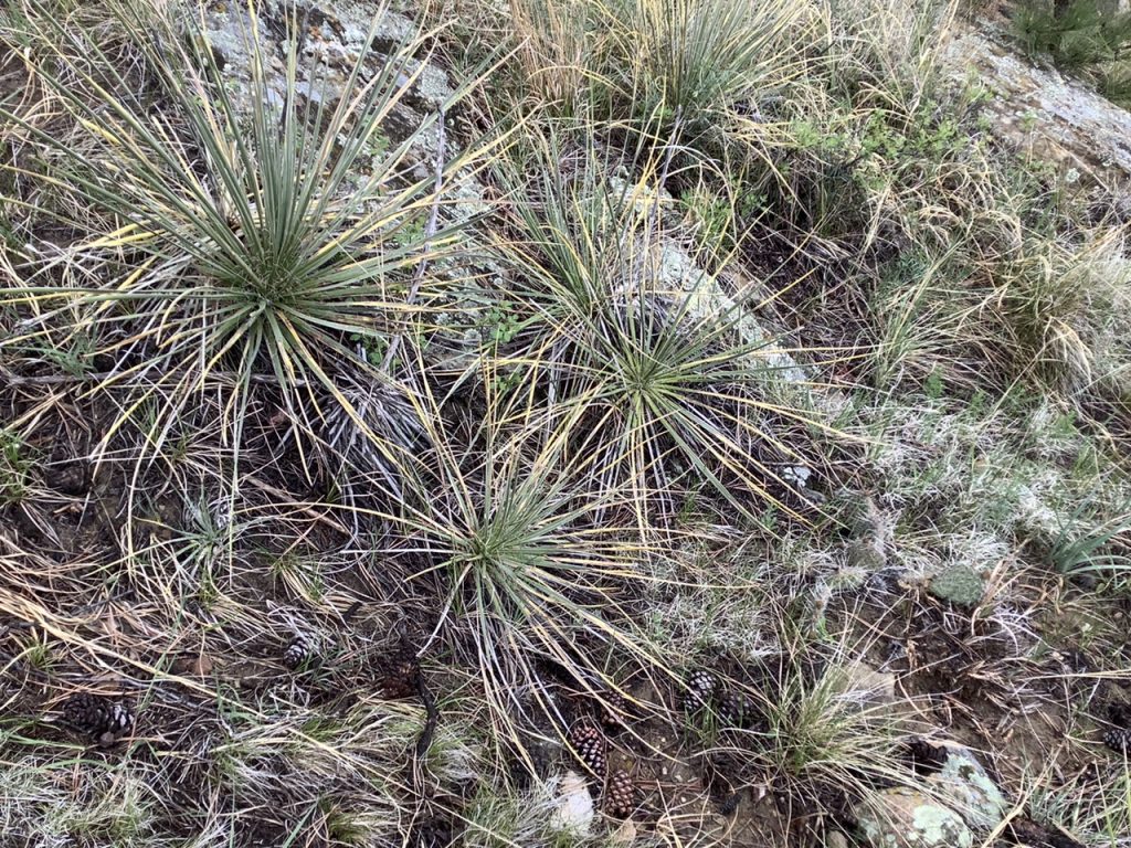
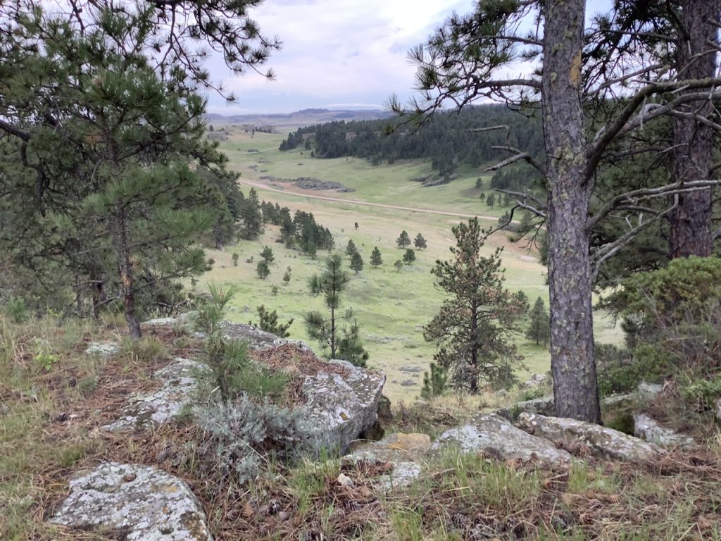
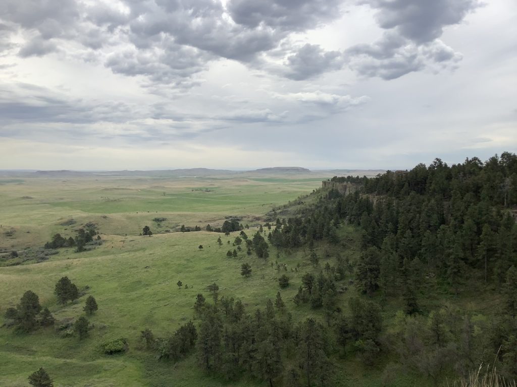
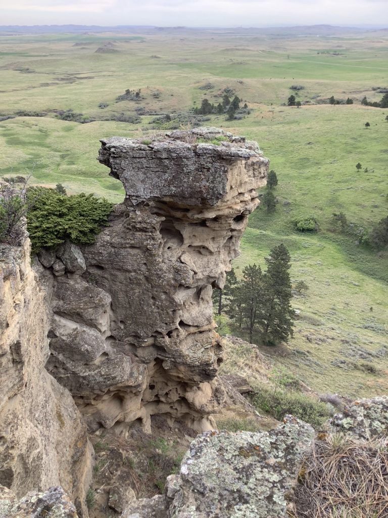
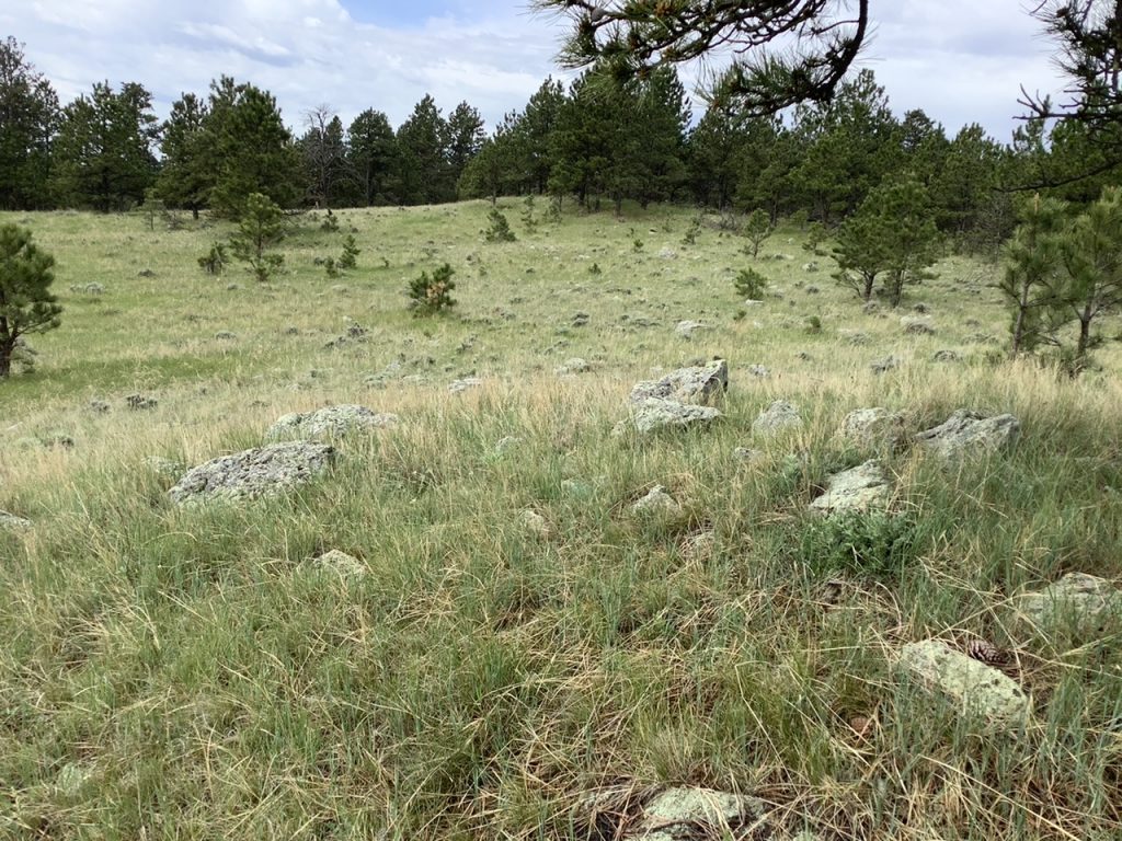
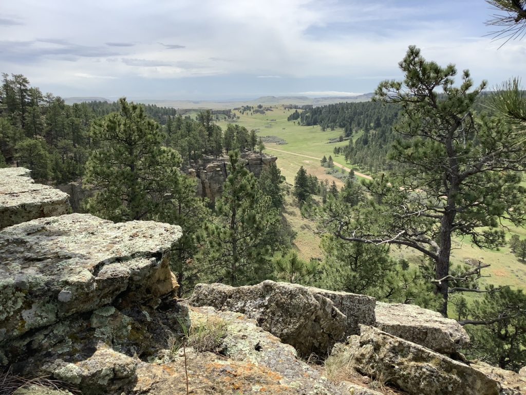
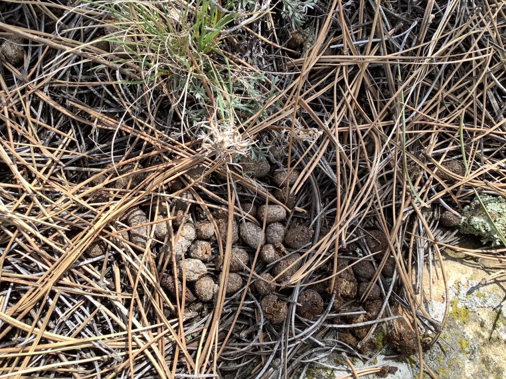
Yer holey rock appears to be occupied by a nighthawk, habitual daily snoozer resting up for night time feeding on bugs.
That area is where two great empires, the Spanish and the British, conjoined during the 17th and 18th centuries. The western tribes-Cheyenne, Crow, Shoshone, others, brought Spanish empire-originated goods, gold, horses, some crops up to the northern Missouri basin where British manufactured goods brought in from the east by the Sioux–guns in particular–were traded in exchange. You’re at a major crossroads in world history, dude. https://www.wyohistory.org/encyclopedia/trade-among-tribes-commerce-plains-europeans-arrived
Cavus Hillus, or Slimmis Buttes, Mr. H? Watch out for Ms. Olson, she of the shotgun carrying sort.
The Slim Buttes and on north is beautiful country. The locals know the history quite well and make wonderful tour guides. Bill Marty showed me abandoned town sites, Indian battlefields, small coal deposits worked for individual homes, old uranium mines still leaking radiation and numerous grave sites. It’s fascinating country, home to heartbreaking stories.
The Martys of that country are insaner than most. If Mr. H opens up to some Harding County roughrednecks and they discover his tendencies they will roust him, no doubt. Camping in the North Cave Hills is incomplete without a beer run to Ludlow.
I solo motorcycle camped in the Slim Buttes , Cave Hills.
2500 sq. miles of another world. North Divide road is awesome.
Make sure you close the cattle gates.
2500 people in Harding County. The
perfect place to blow 30 years of corporate cobwebs out of your head.
The land of the Lakota.
I was honored to visit on the 146th anniversary
of the battle of Slim Buttes.
No ceremony, just me. It’s a sad, sorrowful story.
Near the Reva gap. Not much of a battle, Mr. Nix.
My bad math.
Sorry.
Sept. 9-10 1876. 143rd. anniversary.
Well Mr. Grudz,you can’t win them all. The Lakota had a ball a few months earlier at Little Bighorn.
Might have been a repeat if Sitting Bull could have made it there in time.
You misunderstand my position on the slaughter at the Reva gap, Mr. Nix. Do not assume you understand what you do not.
I stand corrected Mr. G.
You are right. I misunderstood you.
Nix, it is another world. Plenty of rattlesnakes too. Best not to camp with them. ☺
Cory, thanks for another photographic vacation. ❤
I have enjoyed that same hike sir Cory – about 4 years ago. Quite pleasant. Imagined the view from the perspective of an Early French fur seeker.
Let us all hope there are not obnoxious teenagers enjoying loud music at the Picnic Springs campground this evening, while Mr. H snuggles in his bag.
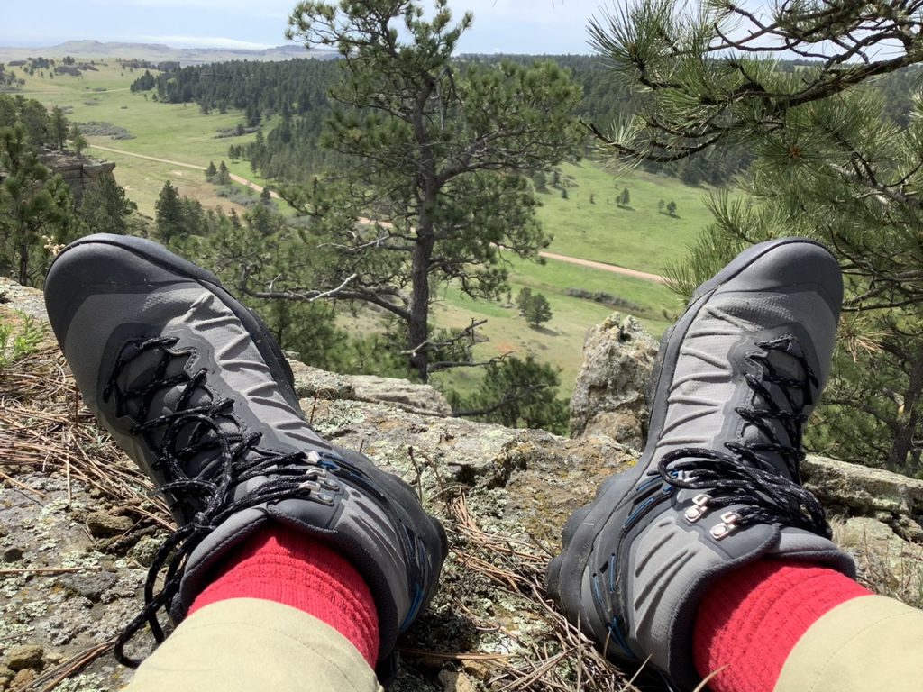
Where is the pix from inside the soggy tent? Imagine, out past your boots, a view of massive ice-cap meltwater hundreds of feet deep carving past Chalk and Slender buttes and AROUND the uplifting He Sapa (the flooding releasing phenomenal weight of the miles-thick icecap resulting in underlying strata thrusting toward the vertical), before erosion inducing flows reversed directions leaving Cuny Table; the flow toward the Gulf of Mehico redirected to Canada and ultimately to the Atlantic Ocean. Geomorphology project by Minot State Unv prof (name escapes me).
Eric Clausen, geomorphology.com. Paradigm: Thick Icesheet Melts Fast
leslie – thanks. That highly geologically active scene is certainly more geared toward basal human experiential realities apropos to today’s state of surviving to the Eurocentric one I was imagining !! It’s almost pre-tribal even. :)
Home and alive, no puma bites.
From my cliffside blog perch, I did hear some faint youthful squawkings from Picnic Springs to the south. I hiked down, across the road, up that next ridge, and found the campground. I’d have stuck around longer, but I wanted to head east. I’ll need to return and spend a couple days venturing south from that edge of the forest… although on such a hike, I perhaps should be less concerned with puma and more concerned with exposed arsenic, molybdenum, thorium, and uranium at Riley Pass.
Indeed, Mr. H. One should not linger long at Riley Pass, and one should wear a tinfoil jock strap, but there is a magical cave beyond with ancient petrogylphs.
Riley Pass is purported to be a very unsafe area, but it is pretty. ☺
You’re probably safer with the Puma up there than in the Black Hills. Lions have been chasing deer at 2 in the afternoon up here in Lead. Beautiful photos. Have a great Memorial weekend!
I believe just about every state east and north of South Dakota has/had Black Hills cattymounts on the prowl for new territories and have had for quite a number of years.
Imagine country of origin labels on mountain lions and how depressed/disgusted they’d all be if the label said right wing nut job land aka South Dakota.
Why else would they leave?
That’s pretty funny.